
The climb
Download file for GPSI was spending my fourth day on the West Highland Way as a “rest day” at Rowardennan. But arguably not really much of a rest, as I was resolved to hike up to the peak of Ben Lomond. Ben Lomond is the southernmost of what are referred to as Scotland’s “Munros,” being peaks over three-thousand feet high. My hike would in fact be about a three-thousand foot climb, as the Rowardennan Lodge was pretty close to sea level. Although it’s common to do the straightforward southern ridge route up and back, I was resolved to make a loop of it by taking the Ptarmigan route up instead. This route climbs the south-western Ptarmigan Ridge to the subsidiary summit of Ptarmigan, before climbing to the top of Ben Lomond.
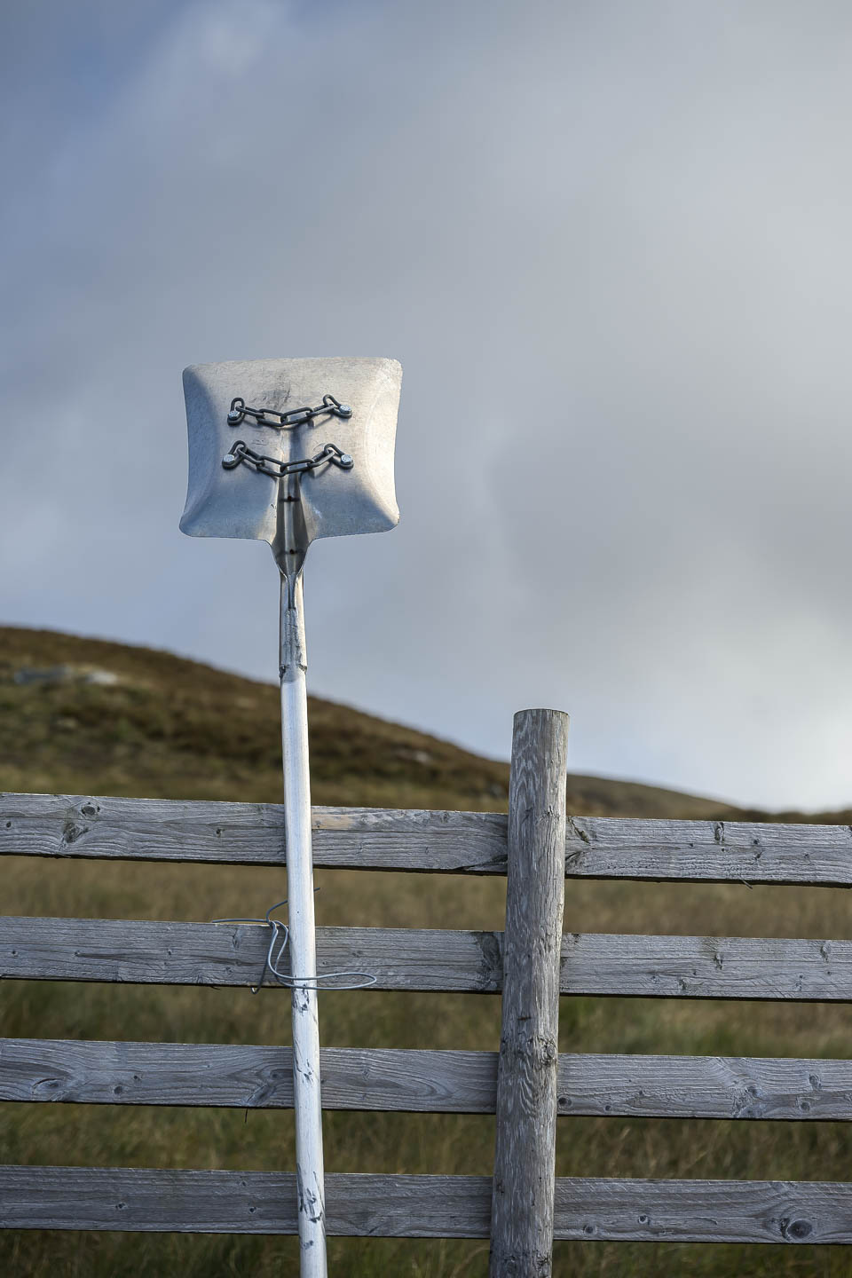
2. A “fire beater” fire suppression shovel.
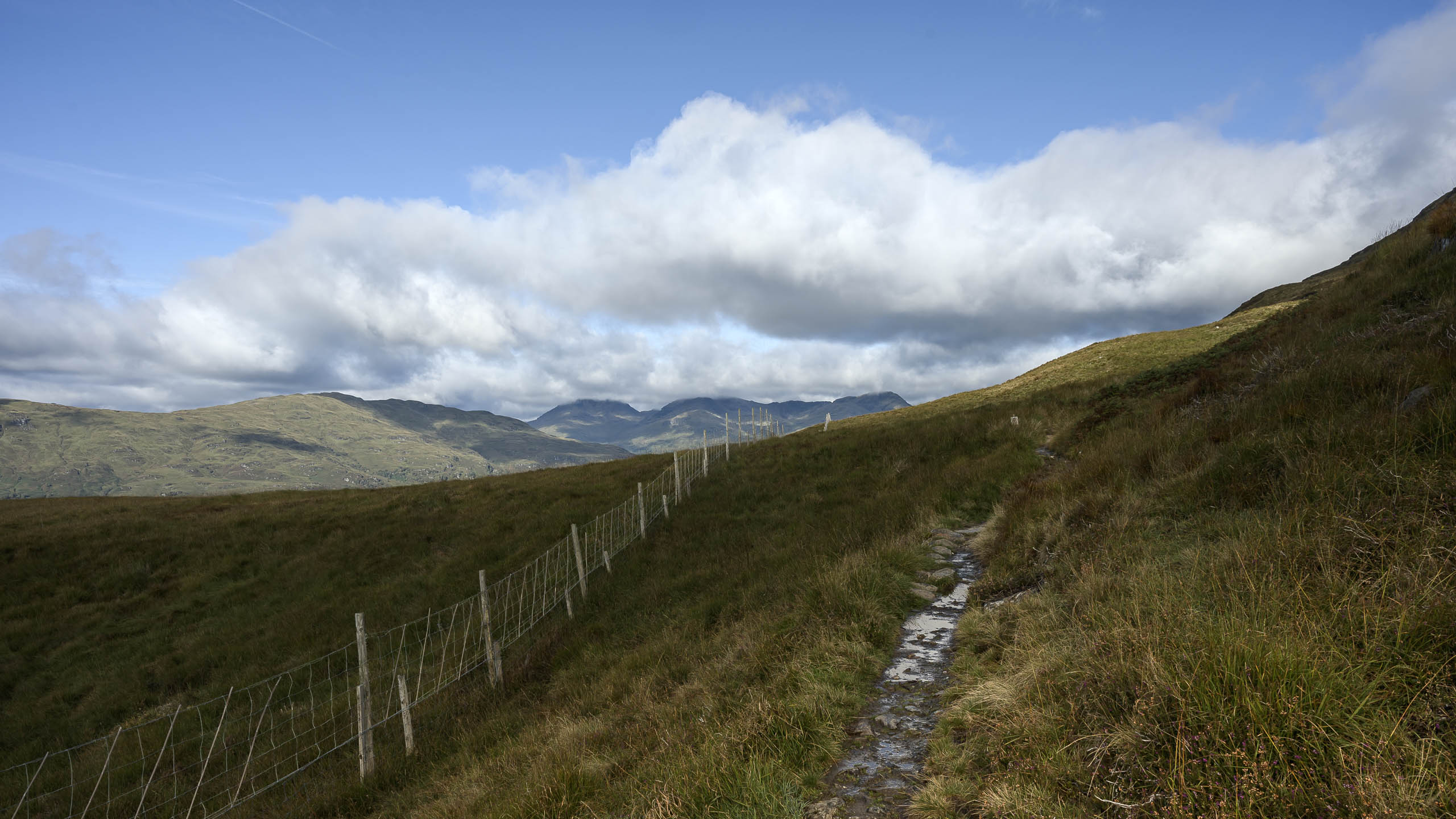
3. The trail up.
The morning was sunny, the rain of the night before giving way to a multitude of clouds in a blue sky. The trail began out in the woods behind the lodge, climbing up past a small waterfall I’d discovered the previous afternoon, then through a gate up into a thick bracken blanketed slope. This area was fenced around to allow restoration of the natural flora here, as I guess it is otherwise subject to the depredations of red deer. Gradually climbing, increasingly vast views of Loch Lomond were revealed behind me under the clouds. I paused often to take pictures, and a sturdy silver haired man in a red jacket passed by, led by a leashed Alaskan Husky.
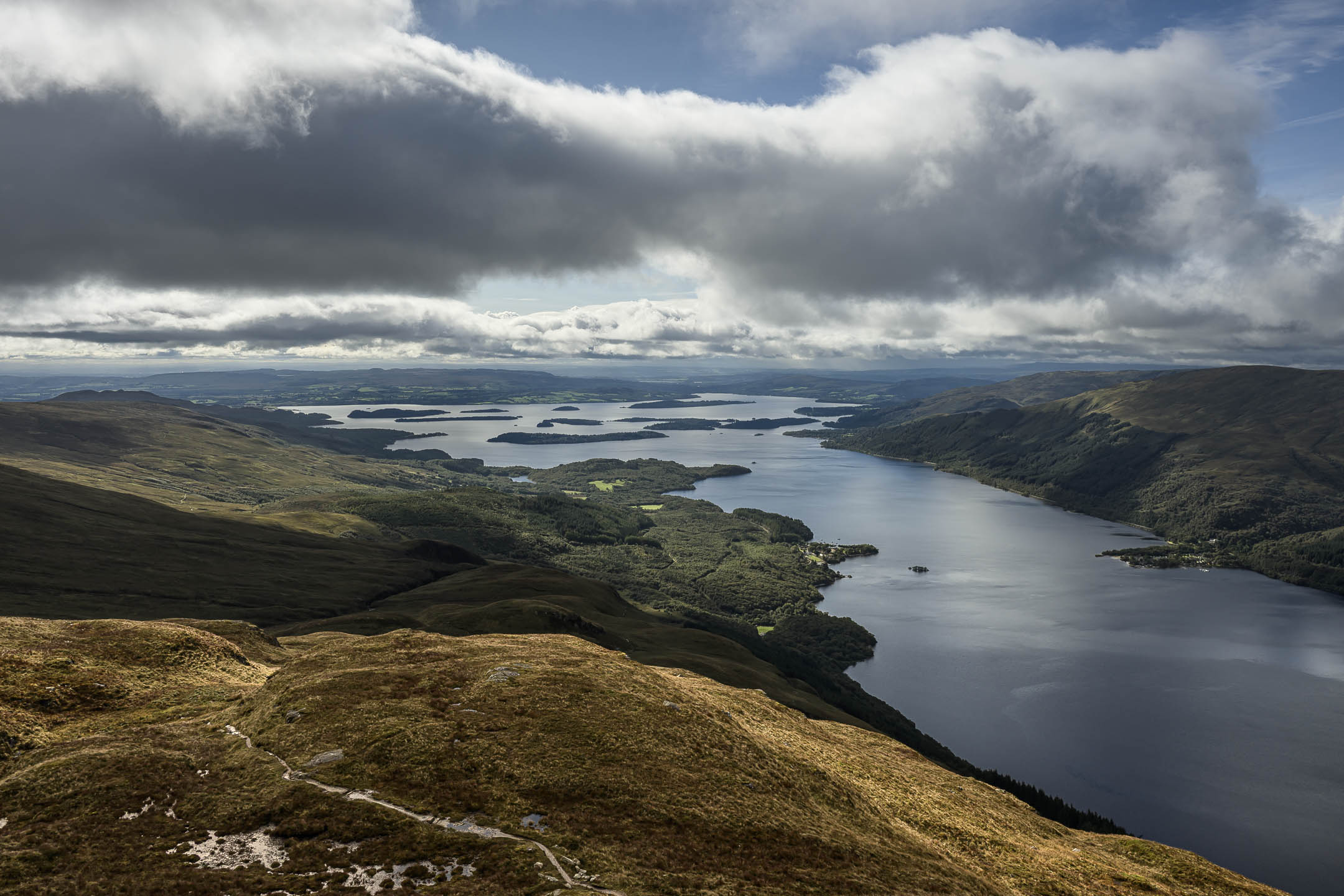
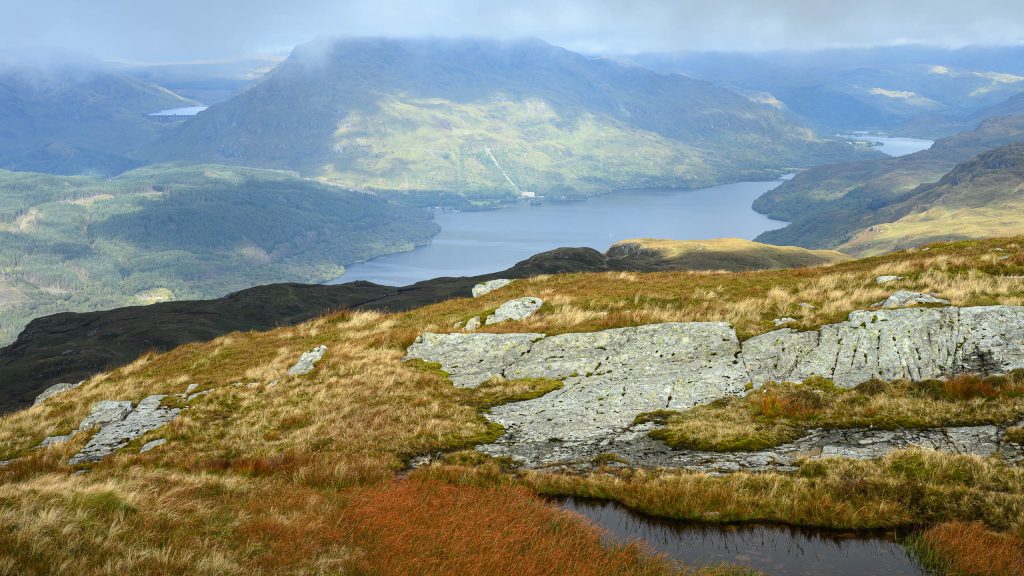
2. View north up Loch Lomond from Ptarmigan peak.
The trail then passed through an upper gate, and traversed up beneath a rock outcrop before climbing to the stubby summit of Ptarmigan. This was lovely country, with robust turf covered knobs and hillocks, dotted with stones. From the summit of Ptarmigan the country to the north was revealed, including the northern sections of Loch Lomond I’d be hiking the following two days.
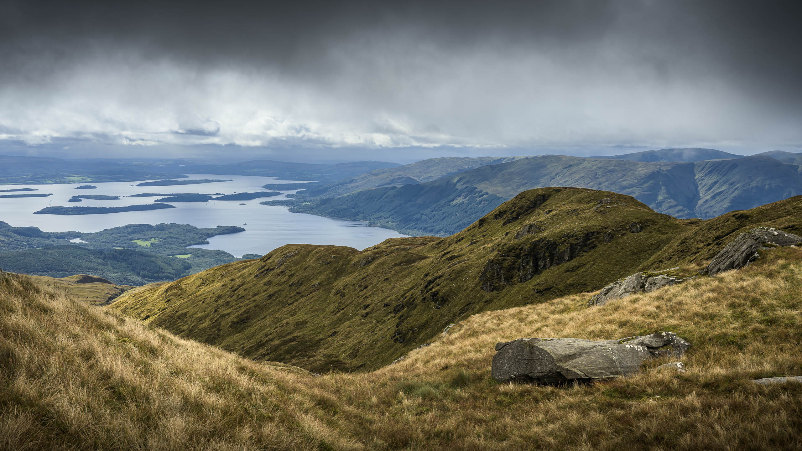
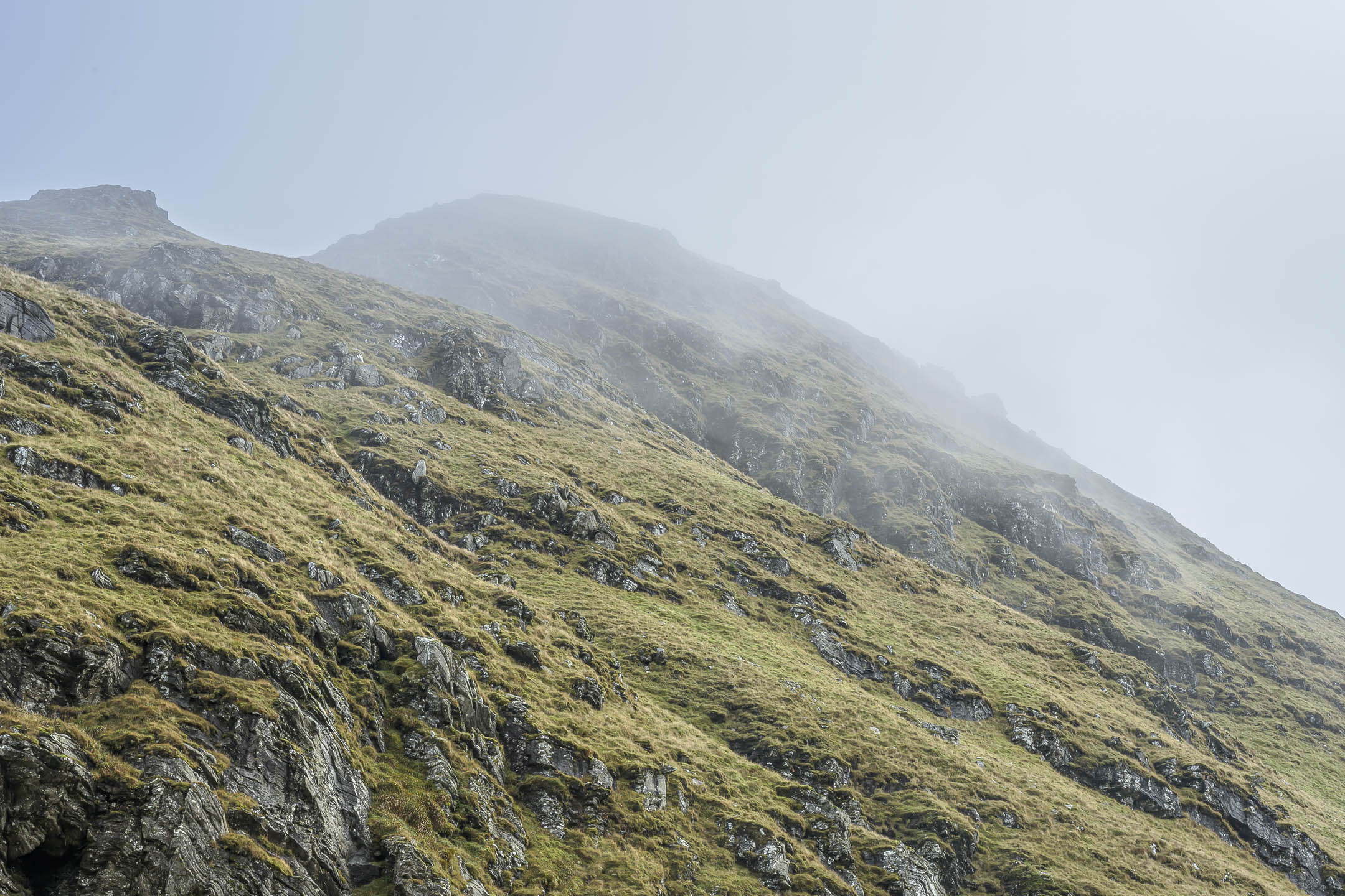
2. Looking up at the summit of Ben Lomond.
Continuing along Ptarmigan Ridge I could now see the broad pyramidal form of Ben Lomond rising up before me, its peak was wreathed in shifting mists. Traversing along the connecting ridge and surmounting another hillock, the climb steepened for the final 740 foot climb up the northwest ridge of Ben Lomond. Mists swirled around, now revealing, now concealing views of Loch Lomond below me. I detoured a short distance down to a small bouquet of pink chrysanthemums which had been placed on some stones. This seemed like a remembrance of some sort, and so a bit sad.
The summit
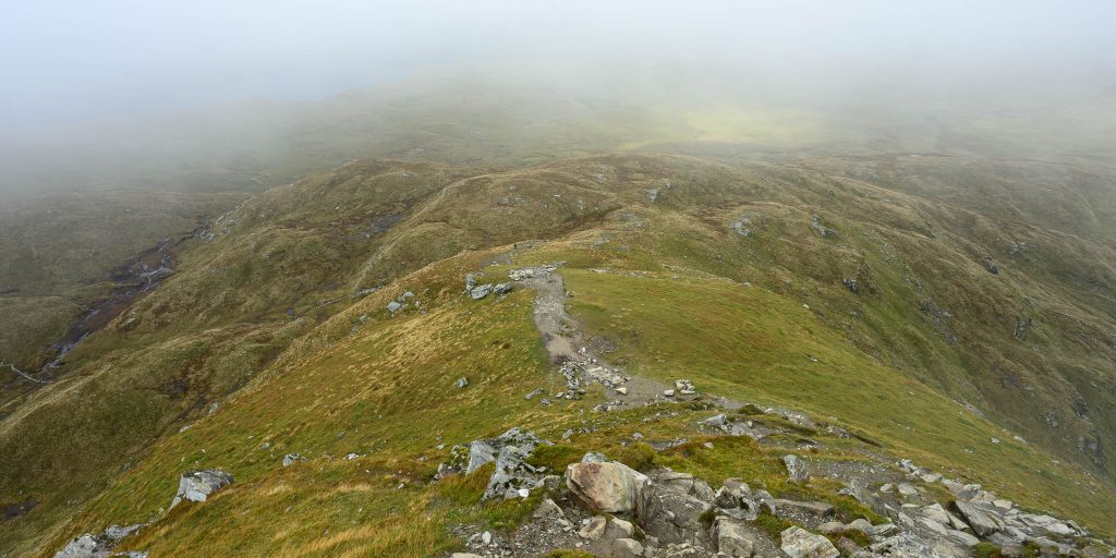
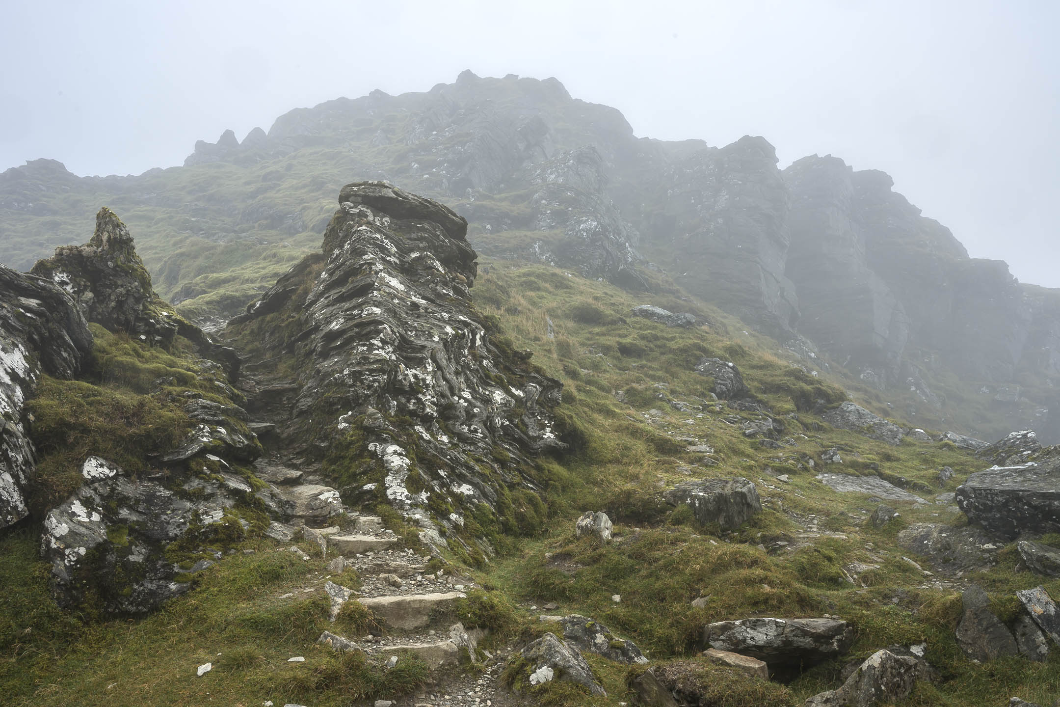
2. Climbing up towards Ben Lomond.
The final bit to the summit was an earnest climb, being like the proverbial steep staircase with no handrail! But not technical really, although I was glad to be climbing up rather than down. Then just like that I was on top, where there was a small group of people (who had apparently come up the easy way). The summit consisted of low flat rock, interspersed with gravel and puddles. It was windy, fairly cold, and socked in with fog.
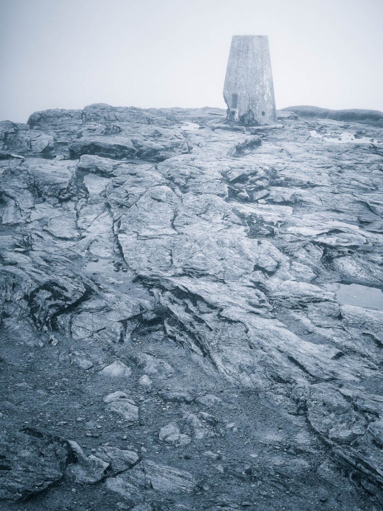
A chest-high concrete plinth was set in the middle of this area, where a couple of young women in parkas were taking selfies. There was an inset empty socket in the top of the plinth. I joked that maybe it had used to be a water fountain, and they laughed. The silver haired man with the husky was seated nearby, who also gave a chuckle at this bozo witticism, but then went on to explain that, no, this had actually been used as a trig point for the Ordnance Survey. So the plinth was really a spot to anchor a survey instrument. My bad!
I found a small declivity a short distance off and sat and pulled out my lunch. The wind and fog created a spitting drizzle, but it wasn’t too bad. While I ate a steady procession of folks trooped up from the southern ridge route, took their selfies, and left. Done with lunch, I packed up and started down the easier trail back myself.
The descent
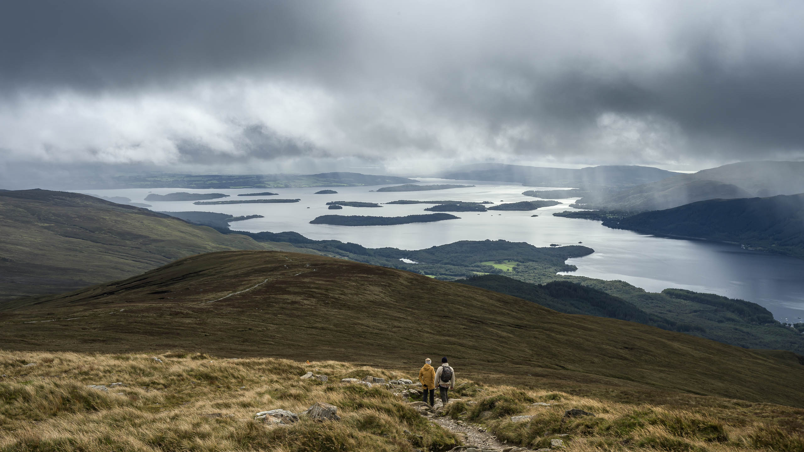
Although a much gentler slope than what I’d climbed, significant care still needed to be taken descending the constructed drizzle-slicked stone steps. I was treated to a succession of views of Loch Lomond with its archipelago of islands under growing clouds as I dropped down the long grassy ridge. I was part of a local cohort of folks also descending. Occasionally I passed by rock cairns, and I wondered if someone was interred there?
Finally the trail re-entered the woodland near the bottom, and before long I was walking once more by the war memorial, and then glimpsing the lodge through the trees as I returned. All in all a spectacular day, and I was grateful to have had such moderate weather for the adventure! Lucky really, as the days on both sides of this hike were less clement.


Leave a Reply