
Small beginnings
Download file for GPS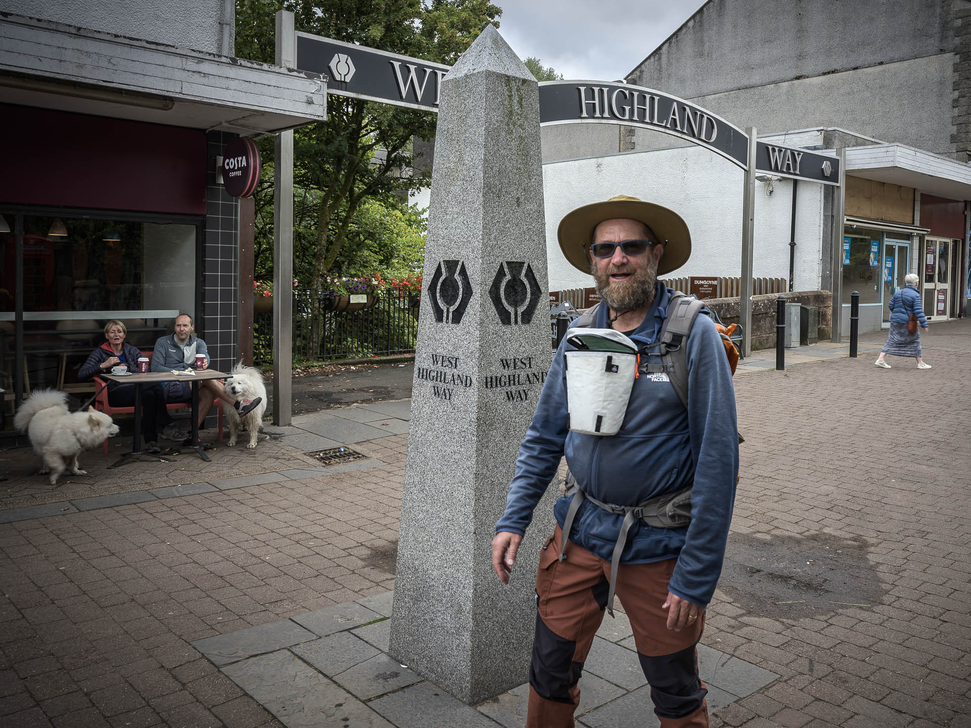
With my 32L daypack on my back, and wearing my wide-brimmed hat, I step under the decorative archway proclaiming “WEST HIGHLAND WAY,” down some steps, and onto a path beside a small stream under a canopy of green leafy trees. There is a couple walking in front of me with their backpacks, and another couple of folks starting out close behind. The morning is cool, overcast, and beautiful. This is it, I am finally on my way! A song is in my heart, and a smile on my face, as I breathe in the cool air and stride forward on the damp, slightly muddy, path.
This was the culmination of a notion first put forward by my friend Albert two years earlier. I’ve since come to learn there are many such designated routes in Britain and Scotland, the West Highland Way (WHW) perhaps being the best well known. The 96 mile trail begins in the sleepy little town of Milngavie on the outskirts of Glasgow, and ends in Fort William, in the heart of the Scottish Highlands in the north.
There are a few different ways to slice up the different days, and one can choose to stay in comfortable Inns and B&Bs each night (which is what I was doing). I would be doing the walk over ten days (with an additional “rest” day), which is a fairly chill plan. My days would typically be in the 8–10 mile range, with a fifteen miler at the end.
My wife Molly had been going to join me on this trip, but recent events on the home-front had sadly precluded her participation. Albert’s plan now was to be joining me around the mid-way point. Although I’m used to hiking alone, I was looking at the various couples and larger groups setting out with some wistfulness.
Leaving the Shire
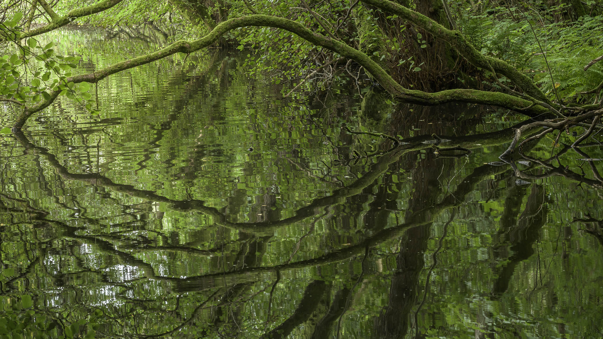
On the trail I soon fell in step with a couple wearing full backpacks (I guessed they would be staying in campgrounds, or, alternatively, “wild camping”). They were from Holland, and we spent a few minutes chatting. I wondered to myself if maybe I would be in tandem with them over the course of the hike? But from off to the side my eye was drawn by some gently rippling water with low mossy branches arcing above and into it. I excused myself and spent a few minutes taking pictures there, entranced by the spell of that small riparian grotto.
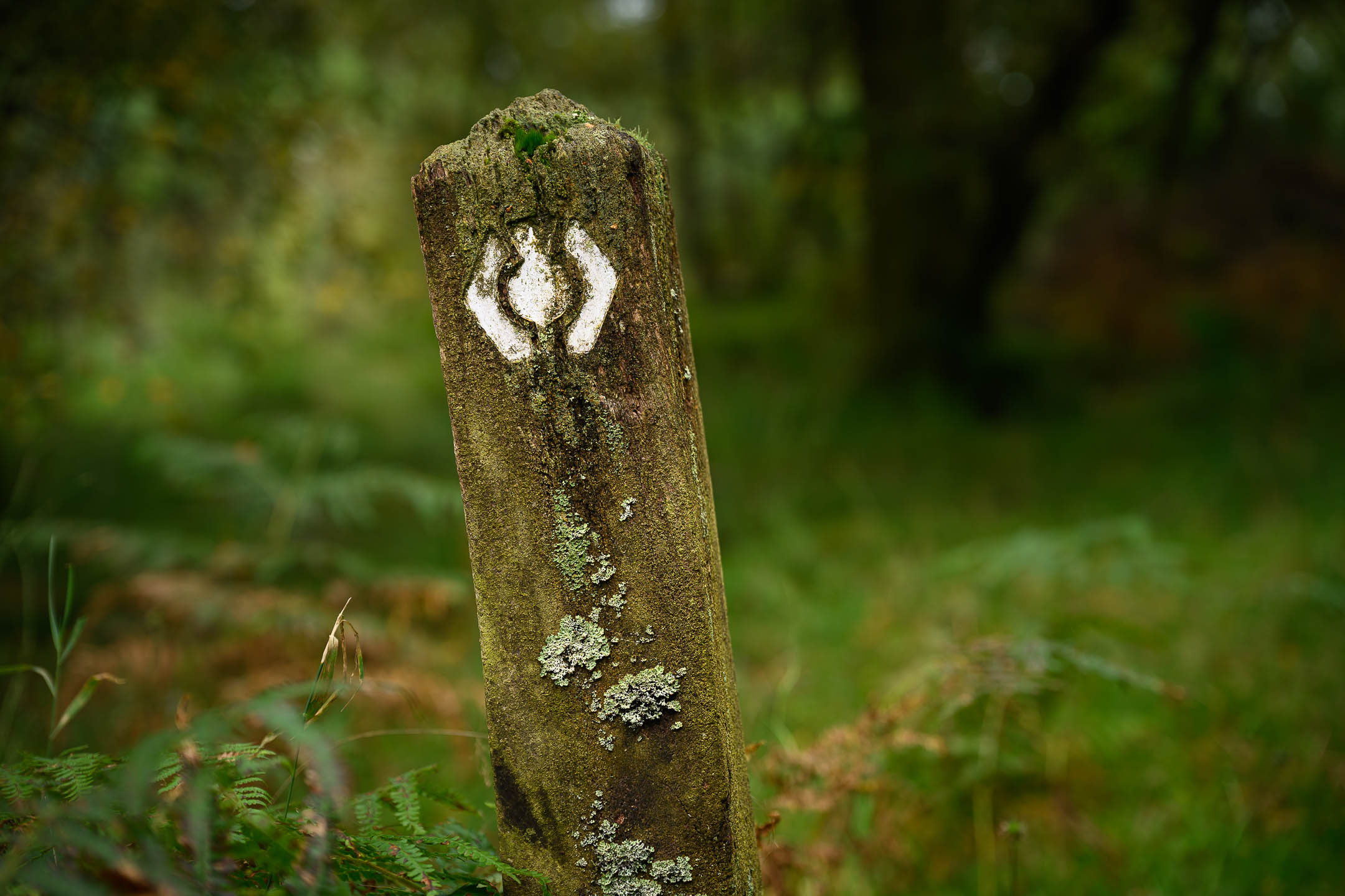
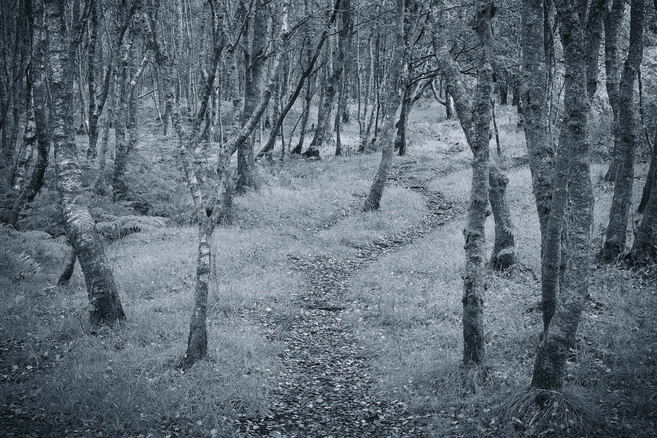
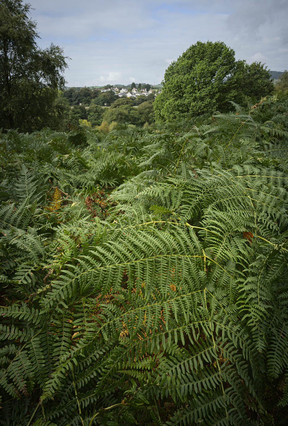
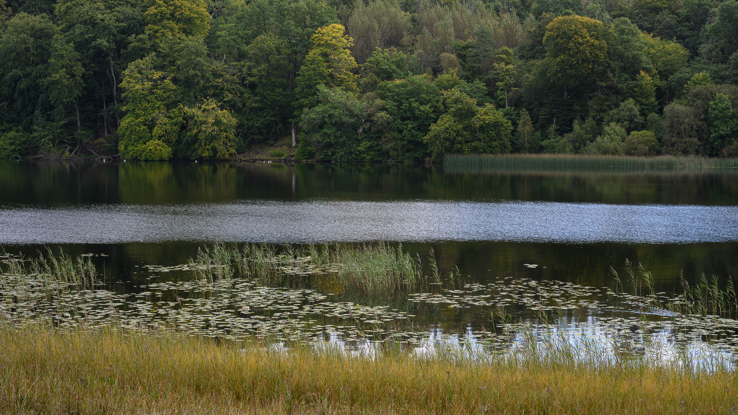
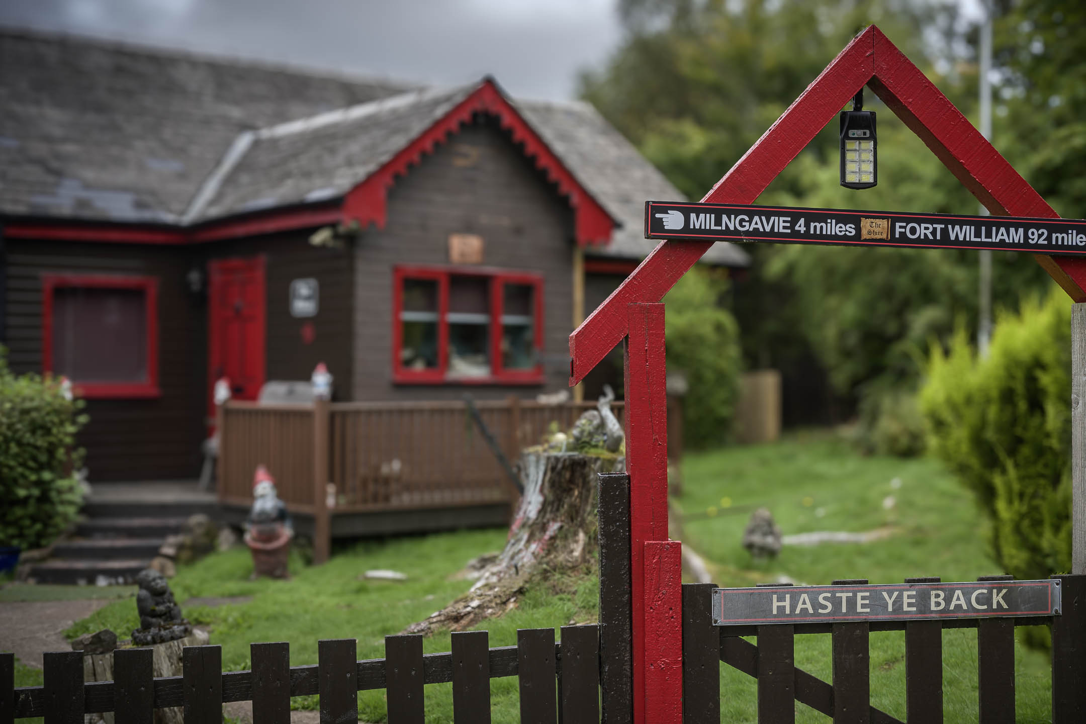
2. One of the ubiquitous WHW trail markers.
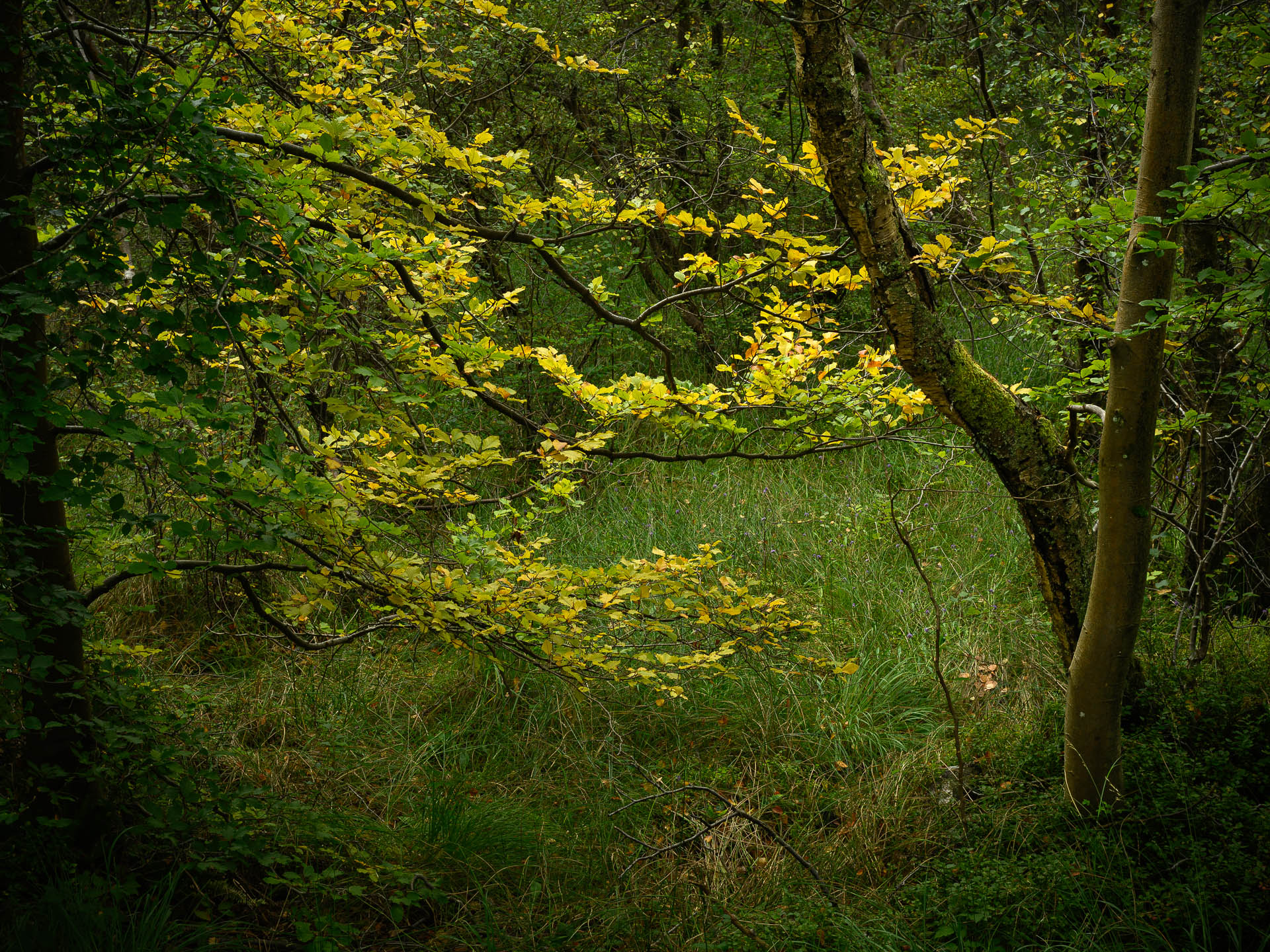
3. The WHW trail winding through a birch forest.
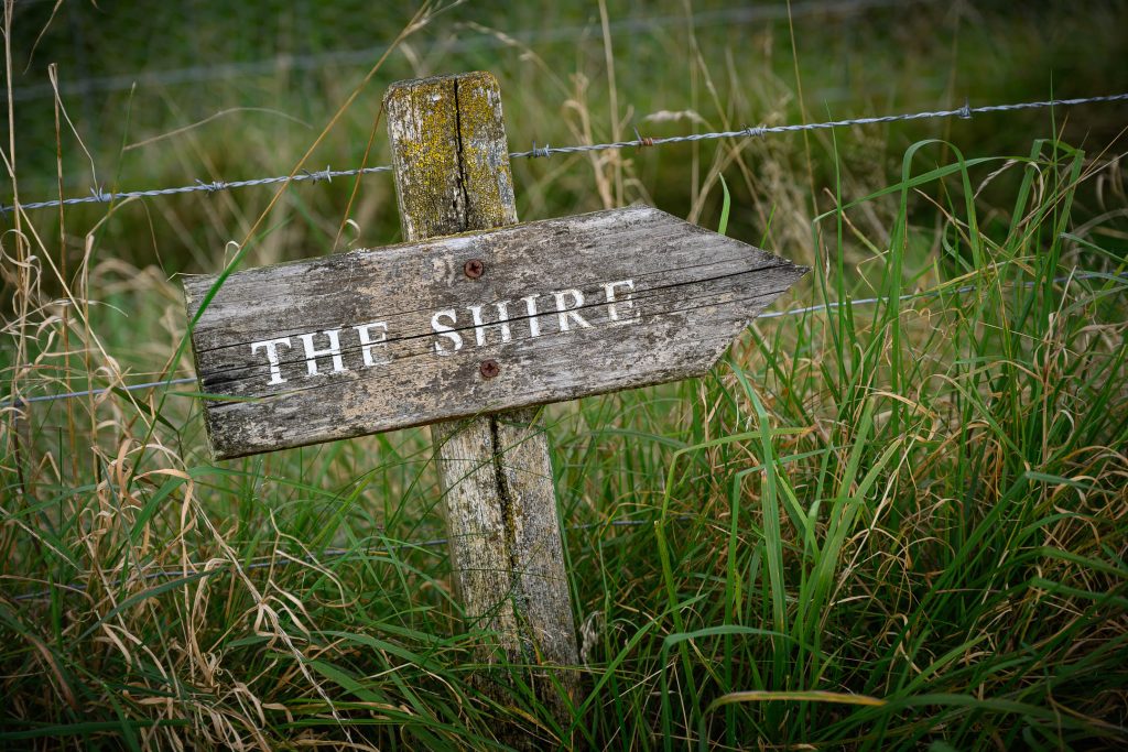
4. Leaving the Shire.
5. Craigallian Loch.
6. Cheery chalet near Carbeth Loch.
Moving forward again, I kept to a somewhat deliberately slow pace, letting other hikers flow past me. Entranced by this riparian woodland, I felt a bit like Frodo and Sam as they commenced their journey out of the Shire. But hopefully there were no black riders on my tail, or a flaming red eye and erupting mountain of doom at the end of my journey!
Finally the trail left these woods, and aligned along a country road for a short distance, before turning right and through a gate leading up a lightly wooded grassy hill.
Over the hills and far away…
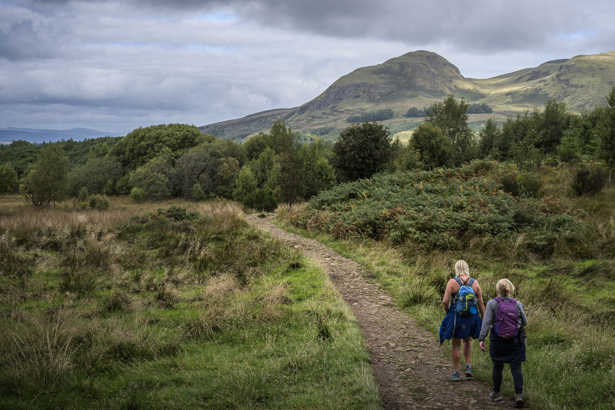
Cresting this hill I entered a wooded copse, and came to an old low rock wall with a gate, tree boughs framing an enticing view of the prominent dramatically lit hill of Dumgoyne in the distance. The track on the other side wound down, then steepened, offering views of distant hazy peaks. One seemed particularly prominent, and I asked a pair of glowing young women pushing their bikes up the path past me if it was Ben Lomond. “Aye, that’s a good one!” one of them attested.
Coming upon a final small promontory, I was presented with a perfect little postcard landscape: an old stone fence ran diagonally up a low grassy slope before me. Beyond that was a gentle lightly forested hill, a little white farmhouse next to a bright green field. Above this rose a muscular ridgeline, with the conical, slightly lumpy, peak of Dumgoyne anchoring the left end. And above that, a sky of shifting puffy clouds.
But the light which so dramatically lit Dumgoyne just a few minutes earlier had moved on. I decided to wait with my camera poised, because surely a spot in the clouds would open soon to play a beam again upon that peak! I became aware of a nearby rough Scottish voice, and saw it was an older man in a dark coat and hat, sitting on a bluff to my left, camera also in hand, talking to his black dog. We give each other a nod.
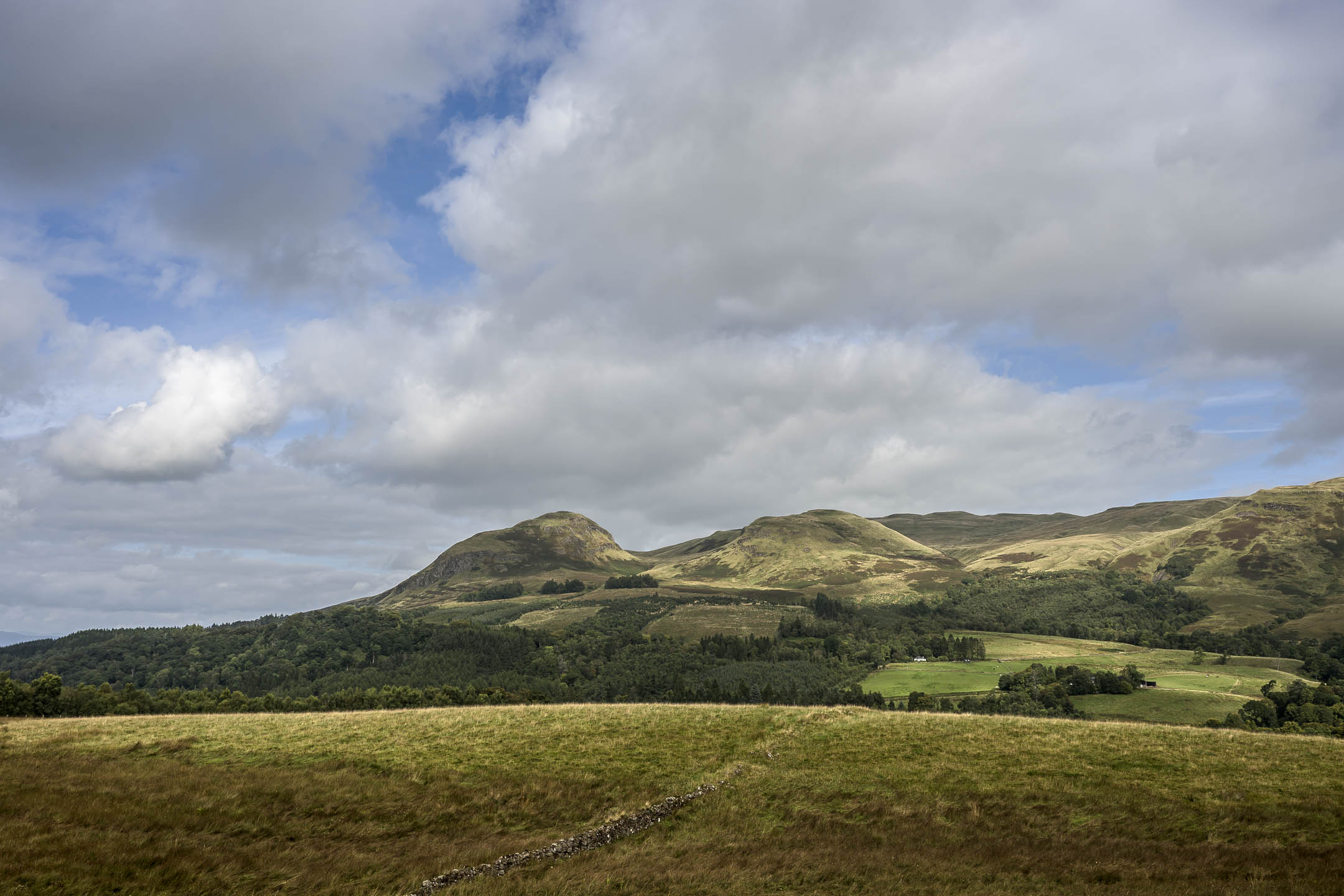
A few times I thought to leave, and began to walk away, but then an enticing shift in the play of light drew me back, to wait some more. Finally spots of light begin crawling back up the ridge, and on to Dumgoyne. I took some shots and resumed my hike. An hour had passed in this spot—it felt like time well spent..
Walking on a cheery sign affixed to the post of a hogwire fence promised delicious food at a place delightfully named “Turnip the Beet” three miles ahead, so I thought I’d hold out for lunch there.
Country roads
The trail then dropped into a straight track as it rounded Dumgoyne, paralleling the busy A81 a little distance off. After a bit across the highway the white building of the Glengoyne Distillery beckoned to me, but I resisted its siren call. The trail got fairly muddy by a significant eating establishment called the Beech Tree Inn. A number of hikers were seated eating at its outdoor tables. Shetland ponies nosed about in an adjacent paddock.
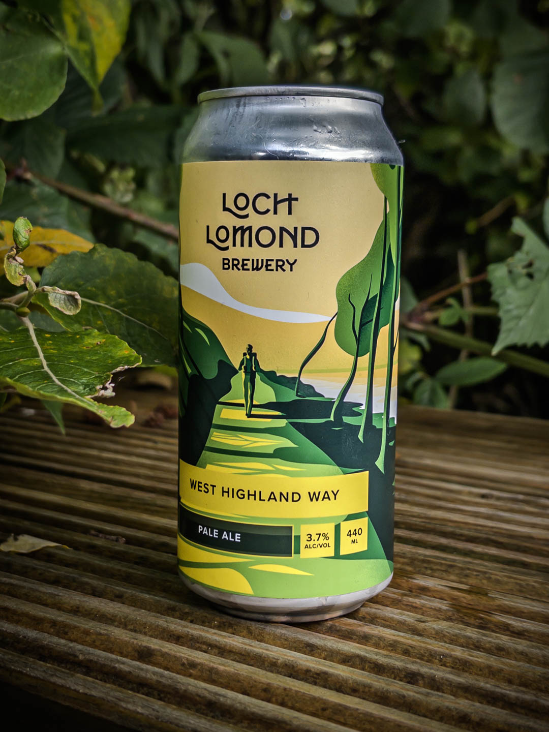
But I decided to keep on to Turnip the Beet. I crossed the A81, and a short time later I was sitting in a spot of sun at a table on their deck. A pressed cheese and ham toastie was before me, and a cold can of “West Highland Way Pale Ale” was in my hand.
A couple of nicely dressed middle aged Scottish women sat at a table next to me. They were talking earnestly about someone they both knew who was seriously ill, and how long one should hold on, how much effort to put into prolonging a life with no prospect of an end to suffering. “Molly would have something to say about this,” I thought to myself, since my wife is a palliative care nurse. But of course Molly was back at home in El Cerrito, five-thousand miles away 😢.
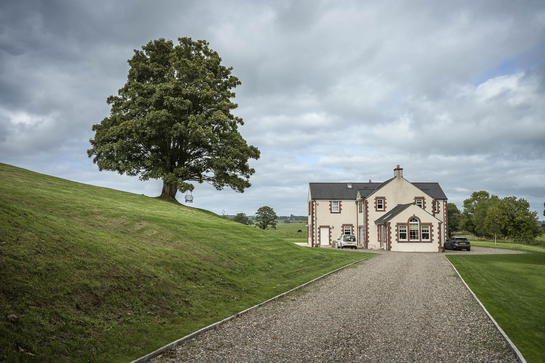
After Turnip the Beet, the trail continued on for a bit between a line of trees screening the road and open fields to the right. Crossing back over the A81, I shortly came to a single track paved road at a tiny village called Gartness, where a stone bridge crossed over a small rushing creek. Walking down this narrow road I had to check to make sure I was still on the WHW, as I hadn’t seen a lot of reassuring signs. I came upon a bicyclist who was pushing his bike up the hill. He was up from London, out for a little day tour.
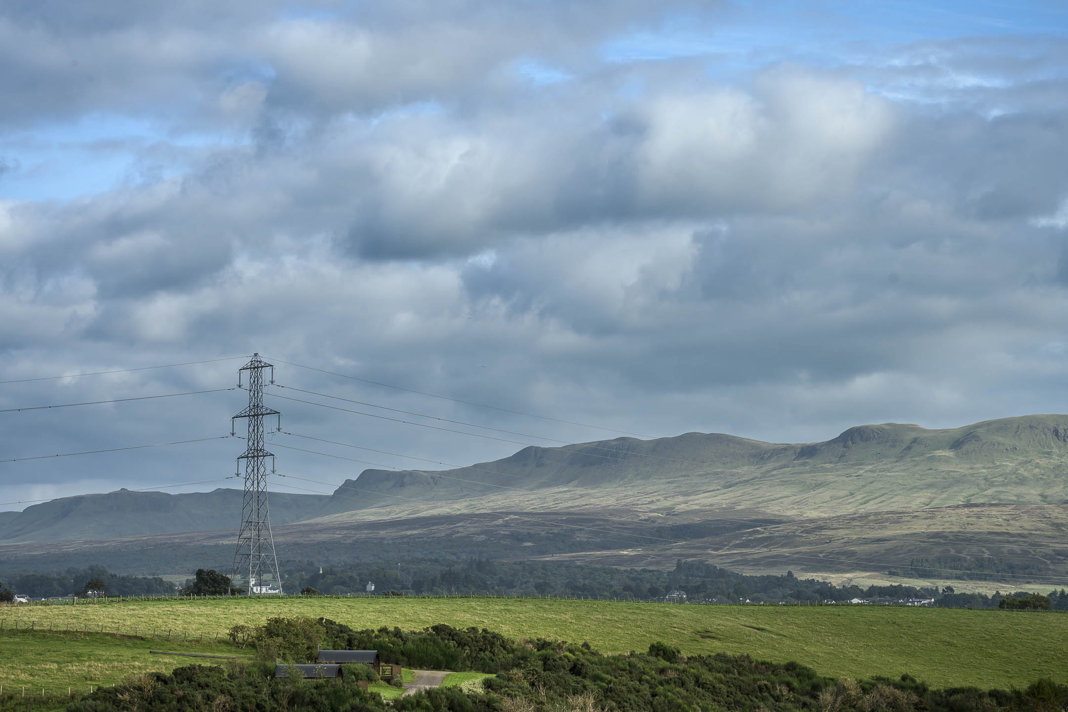
This road was passing through wide open agricultural land now, puffy cloud cover overhead. A line of electrical pylons drew close from alongside and passed overhead. In the distance behind me was an eroded escarpment, the other side of the ridgeline I’d stopped at for so long earlier. It formed the edge of the broad agricultural plain I was now in. I was reminded a bit of the agricultural fields around Gilroy and Salinas back home in California.
There was very little traffic on this lane, which I was glad of, since it was very narrow with no real shoulder. At times it curved between head-high hedges. I came upon the dutch couple I’d chatted with at the outset of the day, now sitting looking exhausted on a wooden bench. We gave each other a little wave. I wouldn’t see them again.
Finally I saw one of the WHW marker posts next to steep wooden stairs leading down to a trail across a field. The bicyclist I’d briefly chatted with earlier was struggling up them with his bike. “Drymen!” he fairly spat, “what a useless little town! I’ll never come here again!”
Drymen
Crossing the field I passed through a gate on its far side, and crossed a fairly busy road (the A811). I just assumed Drymen was to the right, and I did see a marker for the WHW as I proceeded that way. I came upon a hiking couple in dark clothes, and they corrected me, that the town was actually back the other direction down the road! Thus oriented I soon entered the little town of Drymen.
Which didn’t strike as being a poor pointless place, despite the bicyclists’ imprecations. In short order I made my way to the Clachan Inn (est 1734), my lodging for the night. Entering the busy dining room I caught the attention of a harried fortyish man with sandy thinning hair, who introduced himself as Stuart. He led me around back to my room. There was a little bit of noise from a hotel patio next door, but it never became raucous.
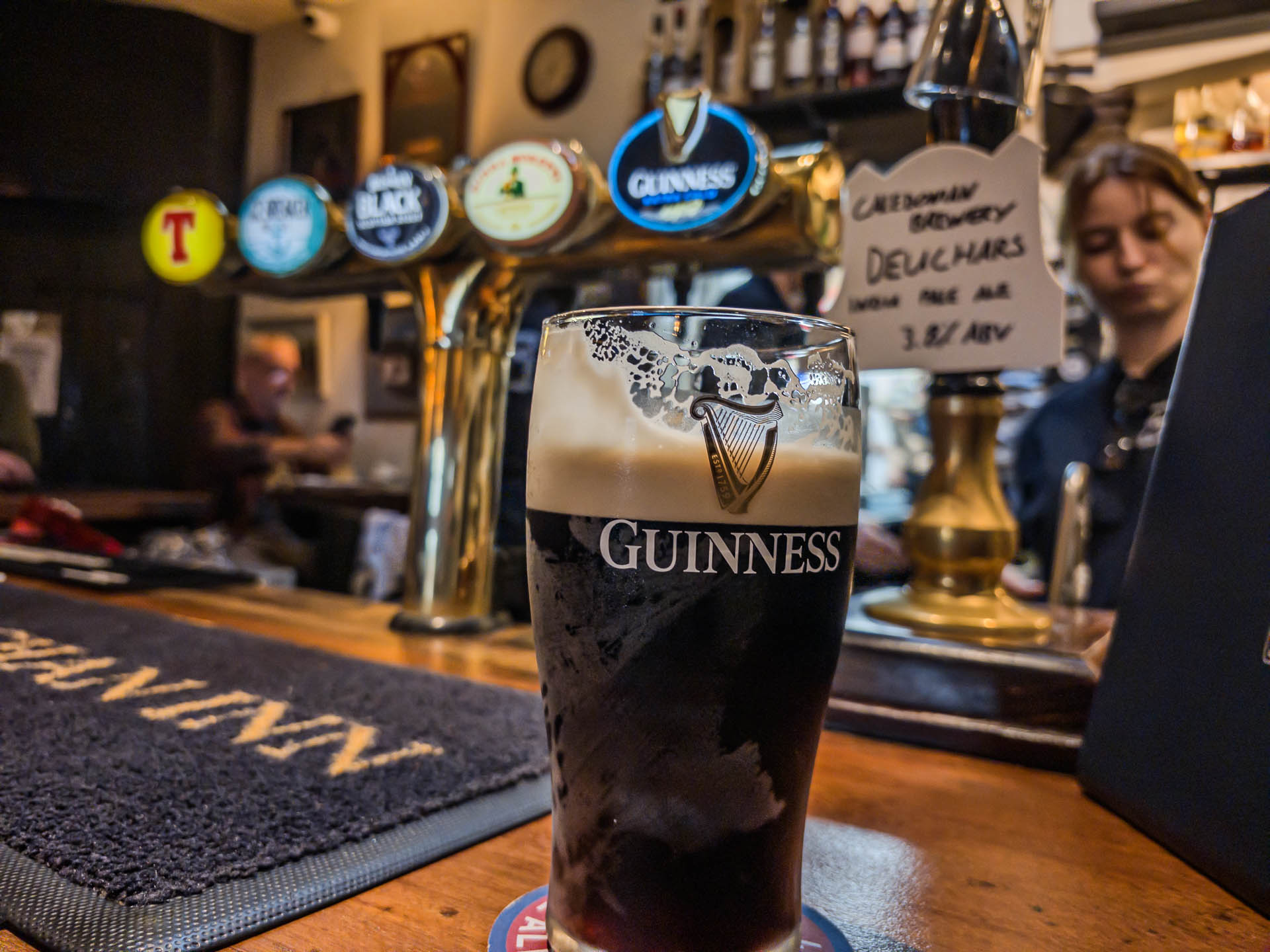
After freshening up, I made my way back around to the dining room for my 7 pm dinner reservation. Stuart informed me l’d have to wait just a few minutes, and invited me to hang out in the adjacent pub room. There was a press of people in there, and I was happy to just sit at the bar for a while with my pint of Guinness.
Which ended up being half an hour actually before Stuart popped back to let me know my table was ready. I’d pretty much finished that pint by then, so naturally I needed another with dinner! I was getting a bit drunk by the time my Steak and Ale pie showed up. I had a creme brulee with ice cream for dessert (man, was I hungry!), then made my way back to my room and called it a night.


Leave a Reply